UN
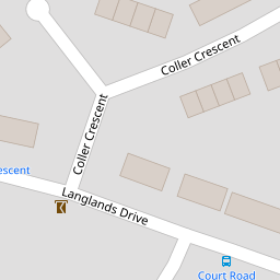
21 Langlands Drive
£ 160,000
Description
We don't have a Description for this property.
- Bedrooms
- 1
- Bathrooms
- 0
- Sqft
- 452.00


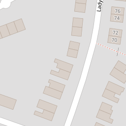


Leaflet © OpenStreetMap contributors
The heatmap indicates the level of crime in the area. The color of the heatmap indicates the crime severity and recency.
Metrics Year-on-Year
- Average area value
- 869,722.00 £Increased by 64.54 %
- Est sale value
- 286,568.00 £Increased by 13.82 %
- Average area rental value
- 1,599.00 £/moDecreased by 40.13 %
- Est letting value
- 452.00 £/moDecreased by 50.00 %
- Est rental Yield
- 2.21 %Decreased by 63.53 %
- Crime Rate
- 68.00 %Unchanged by 0.00 %
from 528,583.00 £
from 251,764.00 £
from 2,671.00 £/mo
from 904.00 £/mo
from 6.06 %
from 68.00 %
Nearby Schools
| Name | Type | Ofsted | Distance |
|---|---|---|---|
| Greenlands Primary School | Academy Converter | 0.62 KM | |
| Greenlands At Darenth Children'S Centre | Children's Centre | 0.66 KM | |
| Fleetdown Primary Academy | Academy Converter | 2.21 KM | |
| Stone St Mary'S Cofe Primary School | Academy Converter | Good | 2.52 KM |
| Bean Primary School | Community School | Good | 2.91 KM |
Images
Nearby Streets
| Name | Average Price | Average Sqft | Distance |
|---|---|---|---|
| St Margarets Road | £ 0 | 0 | 0.00 KM |
Nearby Transport
| Name | NLC | TLC | Distance |
|---|---|---|---|
| Farningham Road | 5105 | FNR | 3.35 KM |
| Stone Crossing | 5248 | SCG | 3.55 KM |
| Greenhithe For Bluewater | 5138 | GNH | 4.10 KM |
| Longfield | 5114 | LGF | 5.21 KM |
| Dartford | 5101 | DFD | 5.43 KM |
Nearby Listings
| Address | Price | Type | Score | Distance |
|---|---|---|---|---|
| Ridgeway, Dartford | £ 425,000 | BUY | 6 / 10 | 0.12 KM |
| Ladywood Road, Darenth | £ 325,000 | BUY | 6 / 10 | 0.13 KM |
| Ridgeway, Dartford, DA2 | £ 360,000 | BUY | 7 / 10 | 0.13 KM |
| Ridgeway, Dartford, Kent, DA2 | £ 385,000 | BUY | 6 / 10 | 0.13 KM |
| Hill Rise, Dartford, Kent, DA2 | £ 300,000 | BUY | 4 / 10 | 0.18 KM |
Nearby Properties
| Address | Price | Distance |
|---|---|---|
| 21 Langlands Drive | £ 160,000 | 0.00 KM |
| 6 Langlands Drive | £ 190,000 | 0.00 KM |
| 35 Langlands Drive | £ 186,000 | 0.00 KM |
| 27 Langlands Drive | £ 190,000 | 0.06 KM |
| 26 Langlands Drive | £ 385,000 | 0.06 KM |